
It's a mostly sunny start to the weekend for northern Utah with mild temperatures hanging on. Daytime highs will once again climb into the mid 60s this afternoon with increasing cloud cover. Moisture will work its way into northern Utah on Sunday with valley rain and mountain snow.
Meanwhile, southern Utah is staring down a very active stretch of weather, with several storm systems lined up through next week. The big one hits tonight through Sunday, bringing heavy rain to Washington County and potential for deep mountain snow up high.
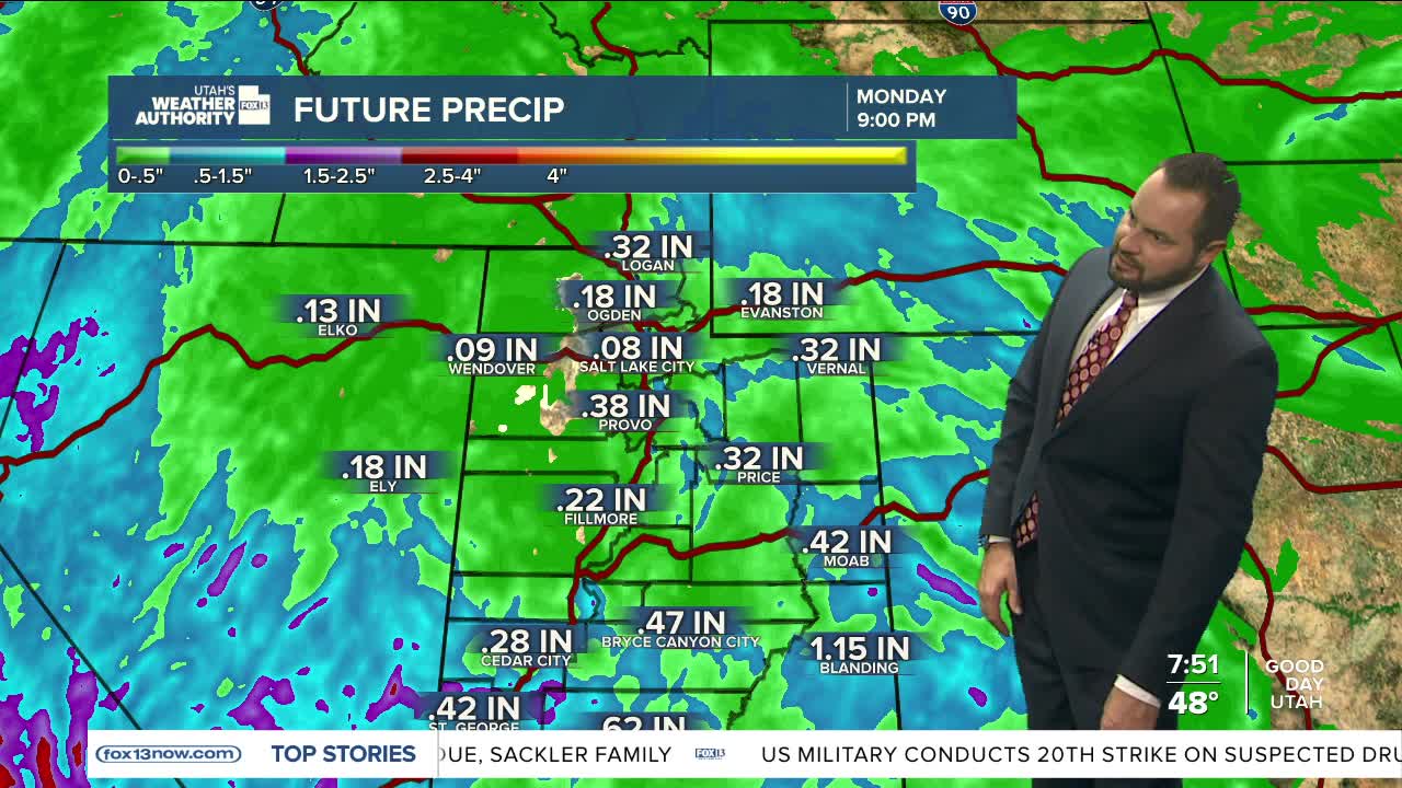
Some of the wetter models are throwing out 3 to 5 inches of rain near the Pine Valley Mountains and the Forsyth burn scar, with most of St. George landing closer to a quarter to three-quarters of an inch. Flash flooding is a real concern for slot canyons, washes, and burn scar areas, and rain wraps up Monday morning.
Higher elevations above 7,500–8,000 feet will see periods of heavy snow, with 6–12 inches likely on the southern peaks. Northern and central Utah get lighter rain and snow Sunday.
Another storm targets the southern mountains Tuesday through Wednesday with more snow, and yet another system could follow late next week.
