

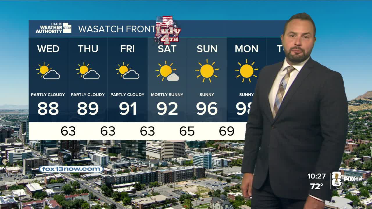


After a cool start to the week, it's warming up again!
Temps across most of the state will climb several degrees higher than yesterday, but will still be very comfortable for the end of June. It looks like it'll be near 80 along the Wasatch Front and in the Low 90s in Lower Washington County.
A weak weather system will slide across Utah today, keeping it partly cloudy and bringing a chance of isolated showers, mainly over the Northern Mountains. The main impact of the system will be for SW winds to increase and lead to high fire danger across Eastern Utah. Winds will likely let up a bit on Wednesday, but then increase again on Thursday and Friday when fire danger could become critical again across parts of Central, Southern, & Eastern Utah.
SALT LAKE CITY
Tuesday: Partly cloudy & warmer. Highs: Near 80.
Tuesday Night: Mostly clear. Lows: Mid 50s.
ST. GEORGE
Tuesday: Sunny. Highs: Low 90s.
Tuesday Night: Clear. Lows: Mid 60s.