



The weekend is over and wet weather is winding down!
The storm that brought widespread valley rain & mountain snow to Utah is moving off to the east. Moisture wrapped around it allowed heavy rain to continue early this morning, but has quickly tapered off. Any lingering showers this afternoon would mainly be over the mountains.
Cold air moved in behind the storm and temps are expected to drop into the 20s & 30s in most valleys overnight. Otherwise, high pressure building over Utah will keep it cool & dry tomorrow for Election Day.
A weaker storm will brush by on Wednesday, bringing a chance of more valley rain & high elevation snow to Northern & Central Utah. The storm will likely be a fast-mover and we'll dry out again on Thursday.
SALT LAKE CITY
Monday: Chance of rain showers in the morning, then partly cloudy by afternoon. Highs: Near 50.
Monday Night: Partly cloudy & colder. Lows: Mid 30s.
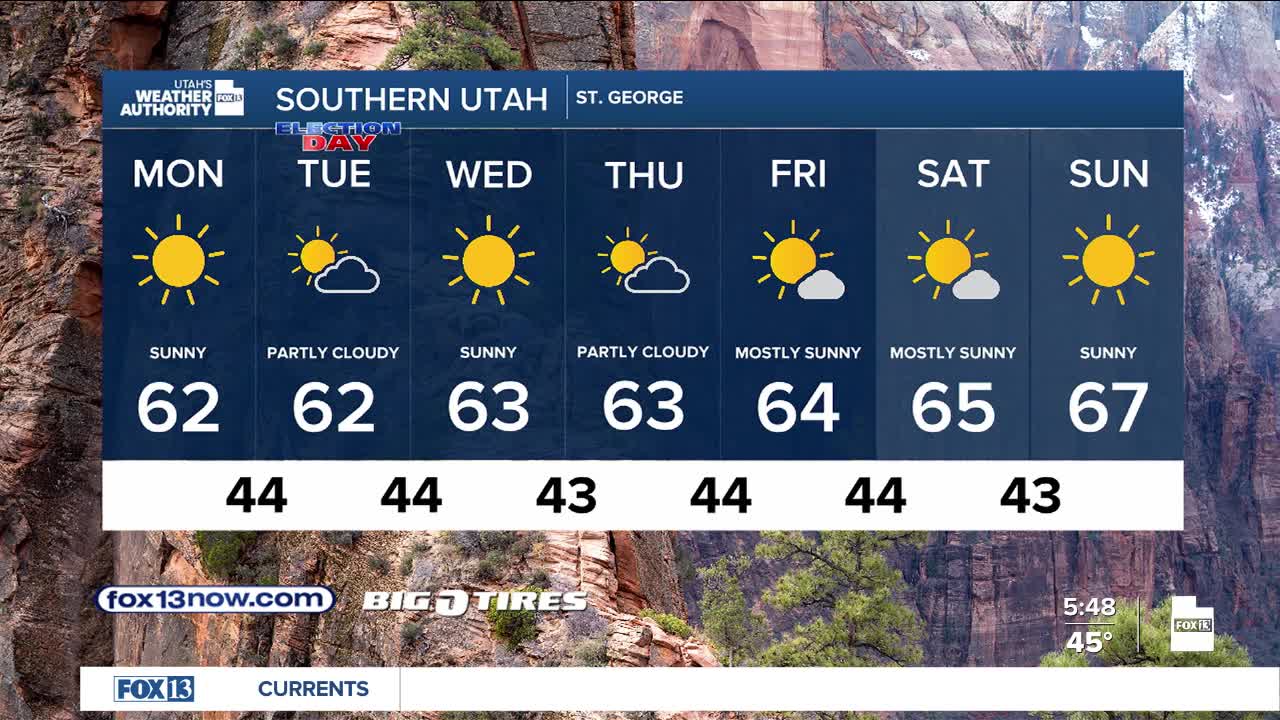
ST. GEORGE
Monday: Mostly sunny. Highs: Low 60s.
Monday Night: Partly cloudy & cooler. Lows: Mid 40s.