


Active weather will continue Sunday with scattered showers and a few thunderstorms across eastern Utah. All of the recent rain will keep a low risk of isolated flash flooding along eastern Utah as well. Showers clear out this evening, and temperatures remain slightly cooler than normal statewide.
Monday brings a brief break in the wet weather before a quick-moving cold front arrives Monday night. Temperatures will drop across northern Utah on Tuesday, with light precipitation and a few inches of snow possible in the northern mountains.
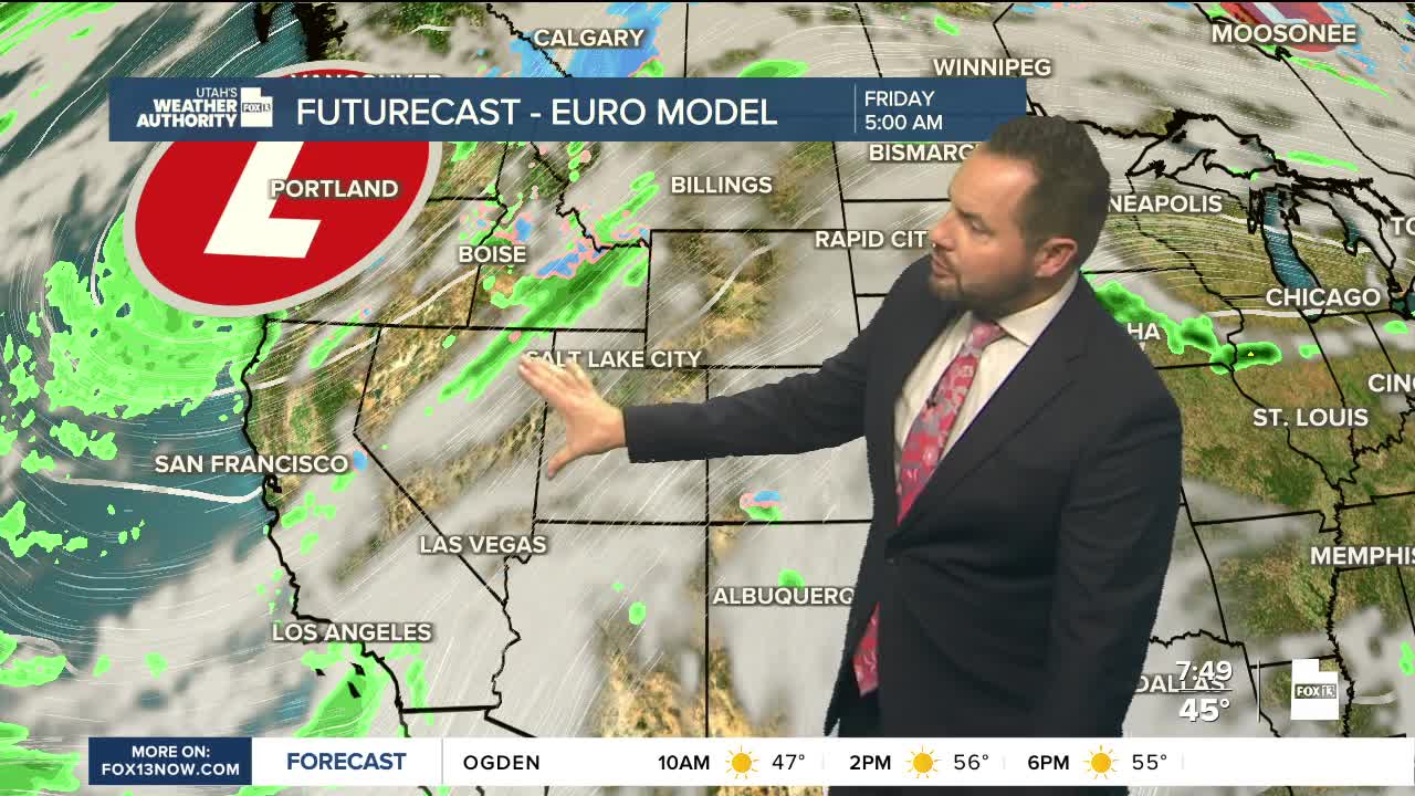
Another, potentially stronger storm system could bring widespread precipitation to Utah starting Friday and continuing into next weekend. Forecast details are still coming together, but more active weather looks likely to close out the month. Stay tuned!