



SALT LAKE CITY — Flood watches cover much of southern Utah Monday — capping a year unlike any other for severe weather warnings across the state.
So far in 2026, the National Weather Service has issued 175 flash flood warnings for Utah. That is the most since 2008 and nearly two and a half times a typical year. Severe thunderstorm warnings stand at 156 — also a record, and nearly double normal. With Monday's storm, both counts are still climbing.
But before those numbers can be understood, two major changes to how the Weather Service warns the public need context.
Technology and policy reshaped warnings
The first change was technology. Doppler radar arrived in the 1990s, giving forecasters the ability to see inside storms rather than simply track them from the outside.
The second change was policy. Until 2007, a warning covered an entire county. Starting in 2008, forecasters began drawing warnings around the storm itself — a more precise approach that reduced false alarms. That policy shift is why a fair comparison of warning totals starts in 2008.
Two offices, one dataset
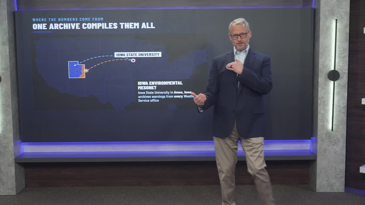
Two Weather Service offices cover Utah: Salt Lake City and Grand Junction, Colorado. The Grand Junction office handles the eastern side of the state, including the Moab area. Iowa State University's Iowa Environmental Mesonet compiles warnings from every office and sorts them by state, making a statewide comparison possible.