

Temps will climb several degrees above average again today, so some warm weather to get over the mid-week hump!
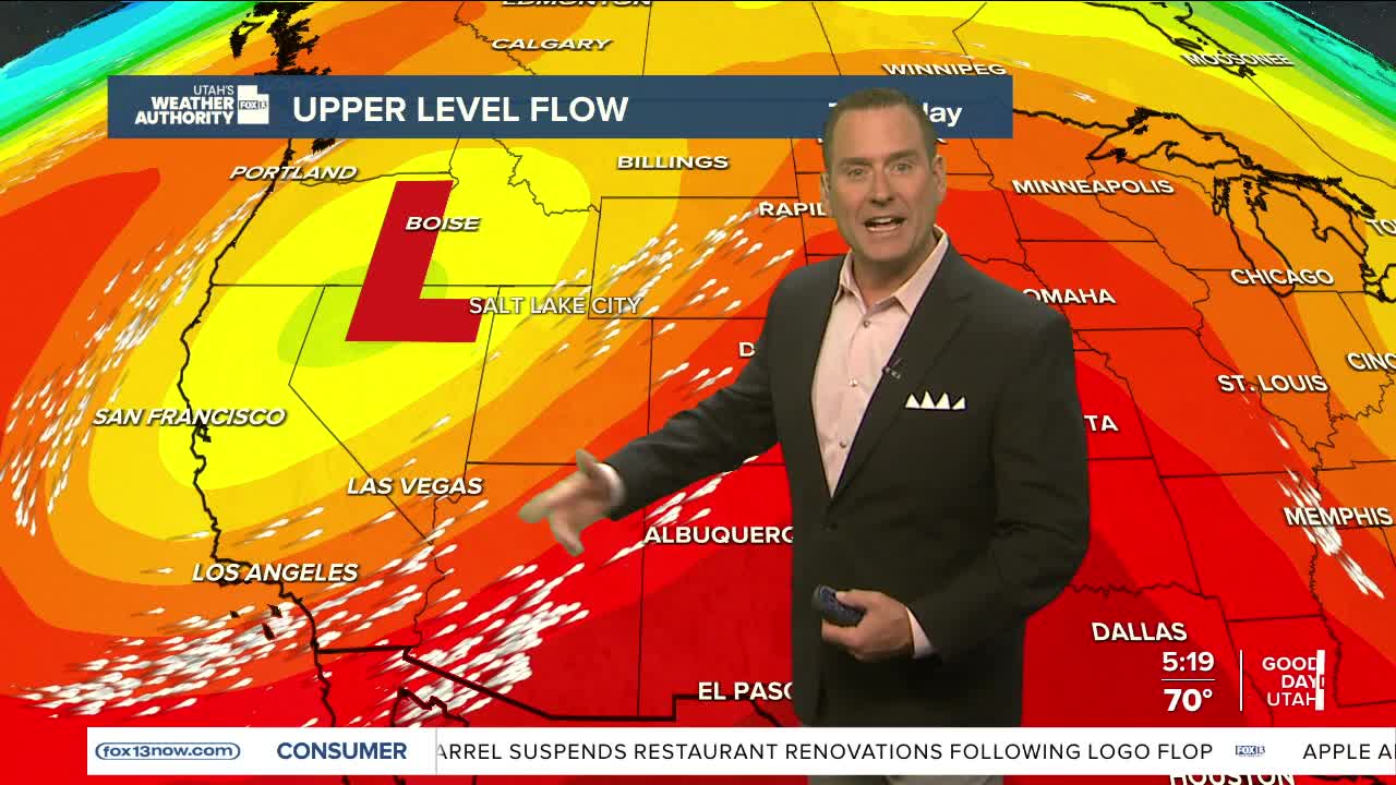
Gusty, dry southwest winds will lead to high fire danger across the West Deserts today. The main area of concern is west of Tooele Valley and south of Interstate 80. With SW winds possibly gusting above 35 mph, areas of blowing dust are likely as well. The strongest winds on Thursday will be across Southern & Eastern Utah.
Showers & t-storms are possible over the higher terrain of the north & east this evening into tomorrow morning. With a storm moving overhead on Friday & Saturday, more showers will be possible. The main impact will be cooler temperatures for a few days.
SALT LAKE CITY
Wednesday: Becoming partly cloudy & breezy with south winds 10-20 mph. Highs: Upper 80s.
Wednesday Night: Mostly cloudy with a 40% chance of showers & slight chance of t-storms. Lows: Near 60.
ST. GEORGE
Wednesday: Sunny, warm, & breezy. SW winds 10-20 mph n the afternoon & evening. Highs: Mid 90s.
Wednesday Night: Mostly clear. Lows: Mid 60s.
