

It's going to be sunny, warm, & windy across UT today!
Winds won't be as strong as yesterday, but will become more widespread. Since they're out of the south to southwest, they'll help temps climb about 10 degrees above average. The winds could also cause patchy blowing dust. Since dry air is moving in, gusty winds near 40 mph will also lead to increased fire danger across the south & east.
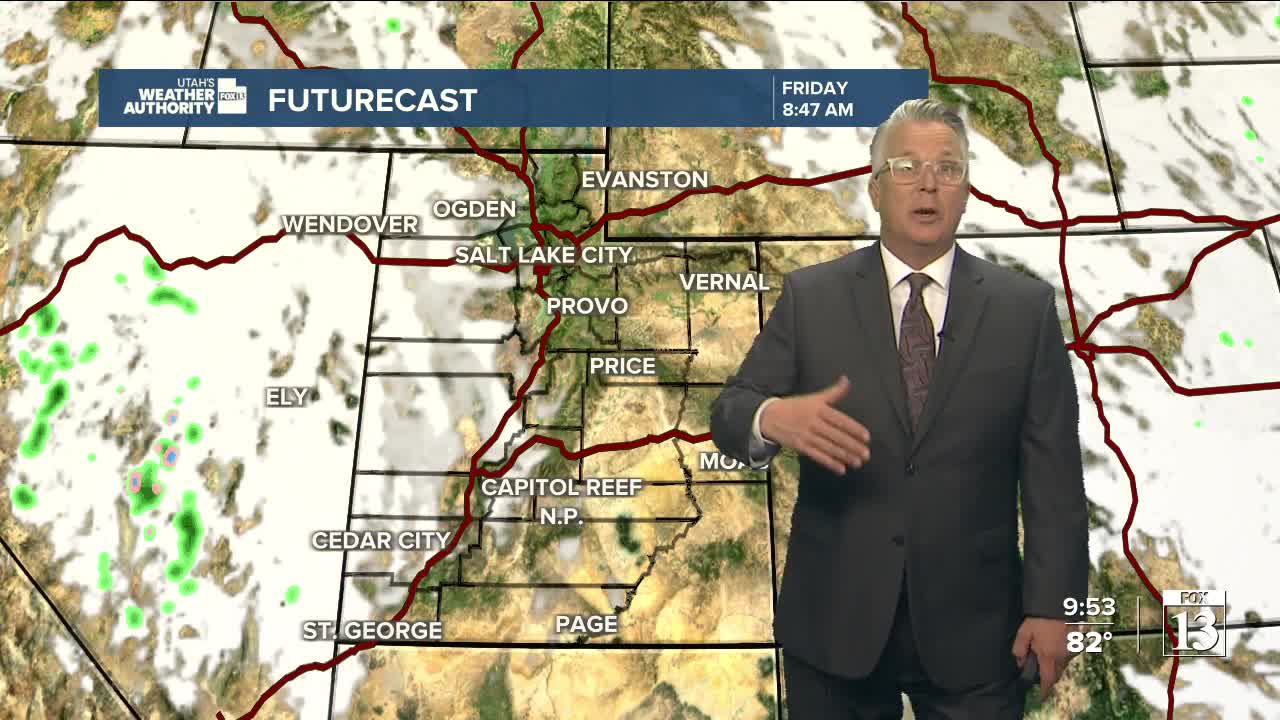
More of the same tomorrow, but then a weakening storm will move across Utah on Friday & early Saturday. There's a chance of showers & t-storms but the main impact of the storm will be to knock temps down close to normal.
It looks like it'll dry out and become much warmer by early next week.
SALT LAKE CITY
Wednesday: Sunny & warm. South winds 10 to 20 mph late morning through afternoon. Highs: Mid 80s.
Wednesday Night: Mostly clear. Lows: Upper 50s.
ST. GEORGE
Wednesday: Sunny. Southwest winds 10 to 20 mph. Highs in the mid 80s.
Wednesday Night: Partly cloudy. Lows in the upper 50s.
