

It's going to be sunny & warmer today, but get ready for some changes!
Moisture starts to move in from the south tonight and will bring a chance of wet weather through the weekend.
Showers & t-storms are possible across SW Utah tonight and will spread into Central Utah on Friday. At first, the main impact could be dry, microburst winds but then wetter storms will become more likely by later in the day.
By Saturday, precipitation will start to wind down across the south while it becomes more likely in the north. On Sunday, wet weather will begin to taper off. It's going to cool off, but not very much. It'll only drop into the upper 70s along the Wasatch Front by the end of the weekend and then warm up again early next week.
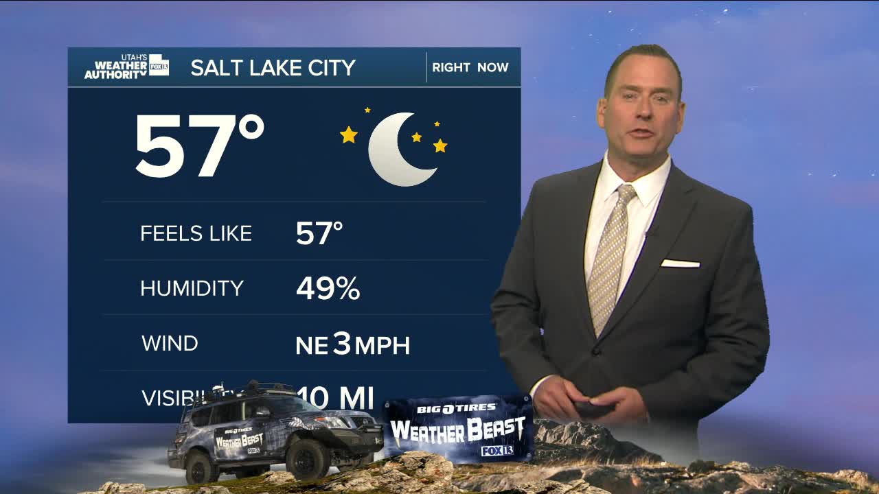
SALT LAKE CITY
Thursday: Sunny & warmer. Highs: Low 80s.
Thursday Night: Mostly cloudy. Lows: Near 60.
ST. GEORGE
Thursday: Partly cloudy. Highs: Mid 90s.
Thursday Night: Slight chance of showers & t-storms in the evening, then becoming likely after midnight. Lows: Upper 60s.
