


It's a wash, rinse, and repeat weather pattern this weekend as monsoon moisture will stay in place. This means we'll see another round of scattered showers and thunderstorms each afternoon and evening.

Storms will first develop over the mountains before drifting into nearby valleys. While many areas won't see rain, any storm that does develop could produce heavy downpours, frequent lightning, gusty winds, and localized flooding.
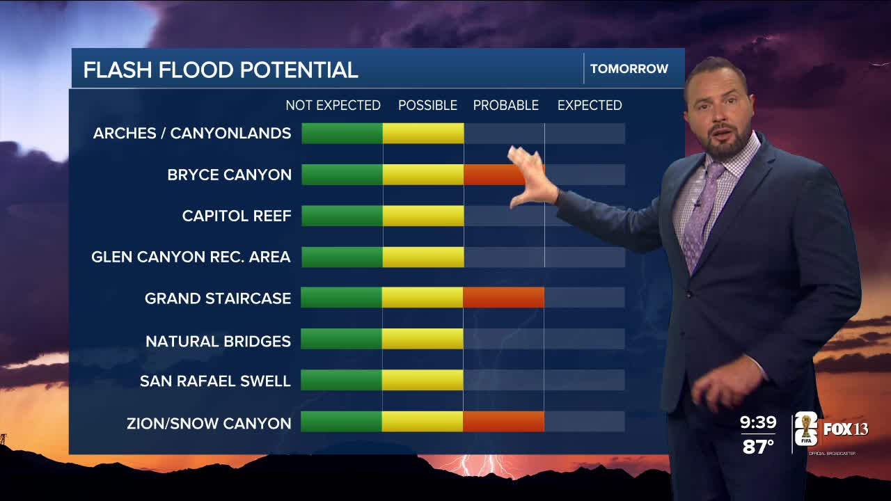
The greatest concern is in southern Utah, where saturated ground and recent burn scars increase the risk of flash flooding. A Flood Watch remains in effect Saturday afternoon and evening for parts of southern Utah.

The flash flood threat isn't limited to southern Utah. The Weather Prediction Center has placed nearly all of Utah under a Marginal Risk for excessive rainfall through Tuesday, meaning isolated flash flooding is possible statewide.
The unsettled pattern is expected to continue into next week, with daily rounds of showers and thunderstorms likely each afternoon as monsoon moisture remains in place.
