



One more dry day before storms move in!
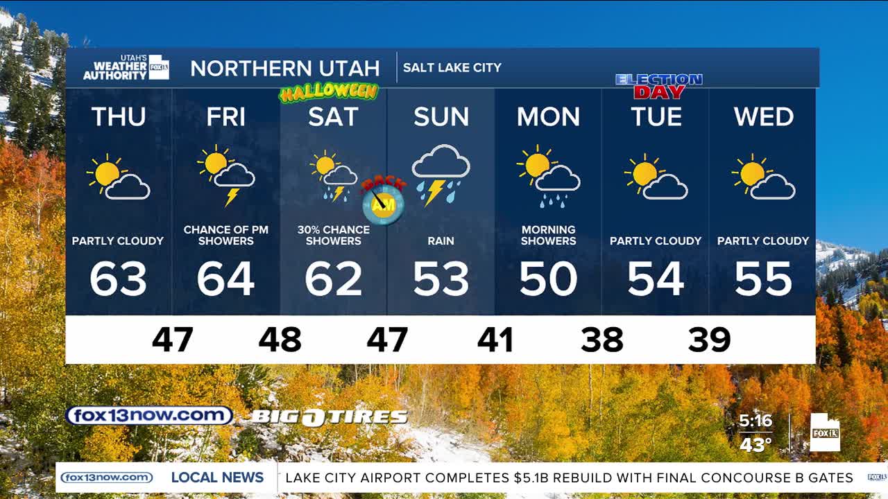
Showers will begin in SW UT Friday then drift north by afternoon & evening. A lull is possible on Saturday but widespread, heavier rain is likely Sunday & early Monday as deep moisture is pumped into Utah.
It's going to get a lot colder on the tail end of the storm by early next week with snow possibly falling as low as 6,000 feet. Since it's a warm start to the storm, any heavier snow would be at higher elevations.
Most precipitation tapers off by midday Monday. It looks like it'll be dry for election day!
SALT LAKE CITY
Thursday: Partly cloudy. Highs: Low 60s.
Thursday Night: Mostly cloudy. Lows: Upper 40s.
ST. GEORGE
Thursday: Increasing clouds. Highs: Low 70s.
Thursday Night: Mostly cloudy. Lows: Lower 50s.