
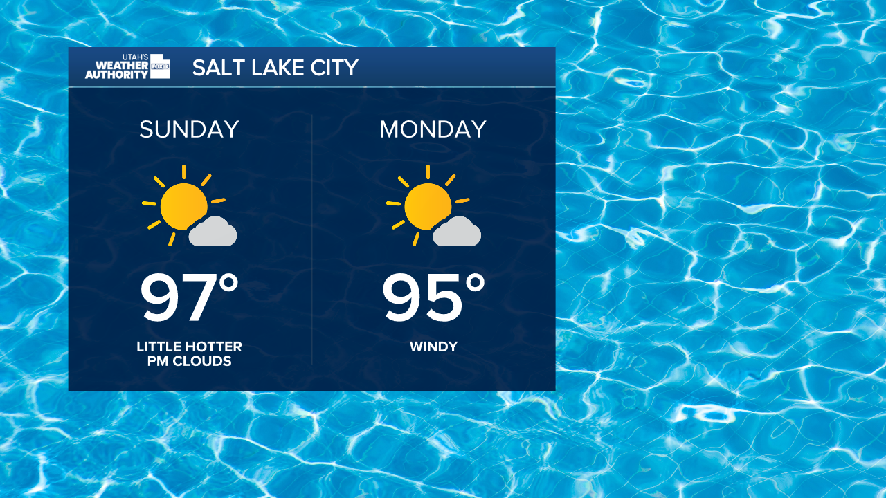
Another gorgeous start to the day across the state. Temperatures are expected to climb a few degrees from Saturday in Northern Utah. Otherwise, a similar setup is anticipated for today, with near-average highs and a few mountain storms.
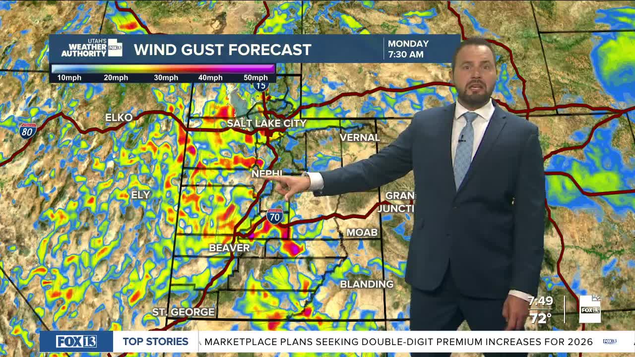
Early in the week, winds will increase over the western half of the state on Monday as a low pressure system moves into the Pacific Northwest. Winds will be strongest over northwest Utah with gusts of 30-35 mph on Monday afternoon.

Temperatures will start to drop statewide on Monday as well. In southern Utah, another surge of moisture on Monday will bring a chance of showers and thunderstorms with possible flash flooding in low-lying areas and some slot canyons.

Cloud cover will help keep temperatures in the upper 90s for Lower Washington County.
Drier and warmer weather will return throughout the rest of the week. However, our mountain areas may see a stray shower or storm.
SALT LAKE CITY
Sunday: Mostly Sunny and Hot. Highs: Mid to upper 90s.
Sunday Night: Mostly Clear. Lows: Near 74°.
Monday: Mostly Sunny and Windy. Highs: Mid 90s.
Tuesday: Cooler and Partly Cloudy. Highs: Low 90s.
ST. GEORGE
Sunday: Hot and Sunny. Highs: Near 102°.
Sunday Night: Partly Cloudy. Lows: Near 78°.
Monday: Partly Cloudy/AM Storm Chance. Highs: Upper 90s.
Tuesday: Mostly Sunny & Hot. Highs: Near 98°.
