

It looks like the perfect autumn day! But enjoy the sunny, warm weather while you can, a cold fall storm is going to move in this weekend!
It's going to be windy ahead of a strong cold front tomorrow. The strongest SW winds will be across Western Utah ( south of I-80 ) where they could gust near 40 mph. It's going to be a warm start, but temps will quickly drop behind the cold front in the afternoon & evening.
Showers will become widespread across Northern & Central Utah as well as SW Wyoming. Strong to severe t-storms will be possible, mainly east of the Wasatch Front and across Eastern Utah. Snow is expected in the mountains north of I-70 with 1-5 inches possible above 9,000 feet!
Besides an umbrella, you'll need a good jacket! It's going to get a lot colder with high temps only climbing into the mid to upper 50s along the Wasatch Front by Saturday.
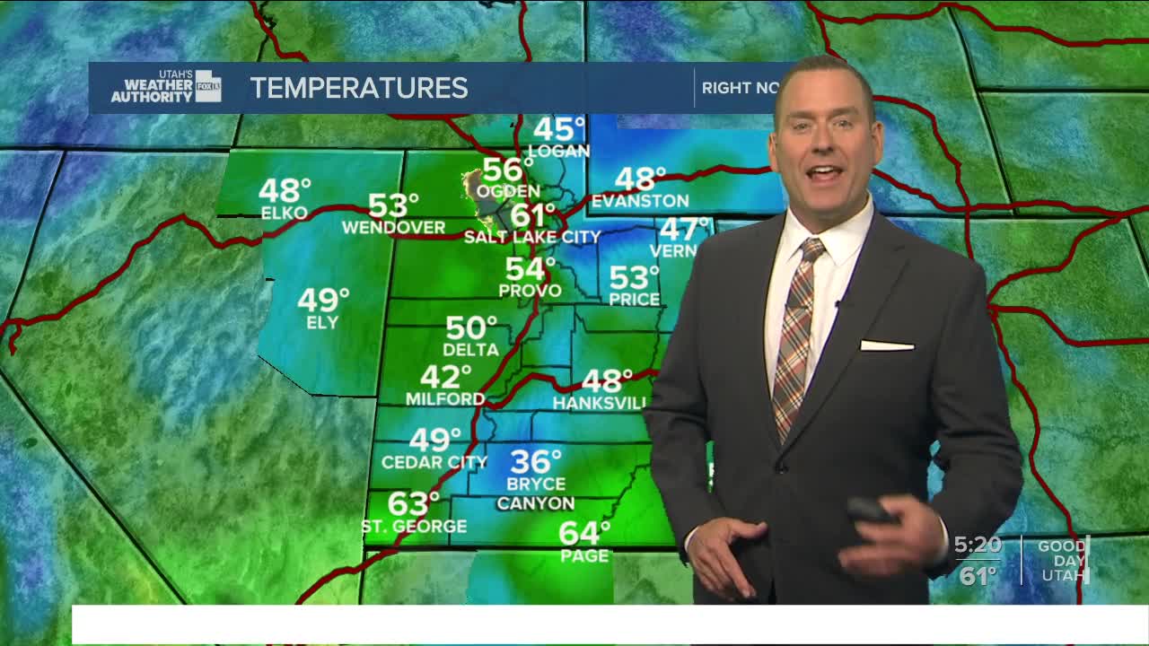
SALT LAKE CITY
Thursday: Sunny & warmer. Highs: Low 80s.
Thursday Night: Mostly clear. Lows: Near 60.
ST. GEORGE
Thursday: Sunny. Highs: Near 90.
Thursday Night: Mostly clear. Lows: Lower 60s.
