

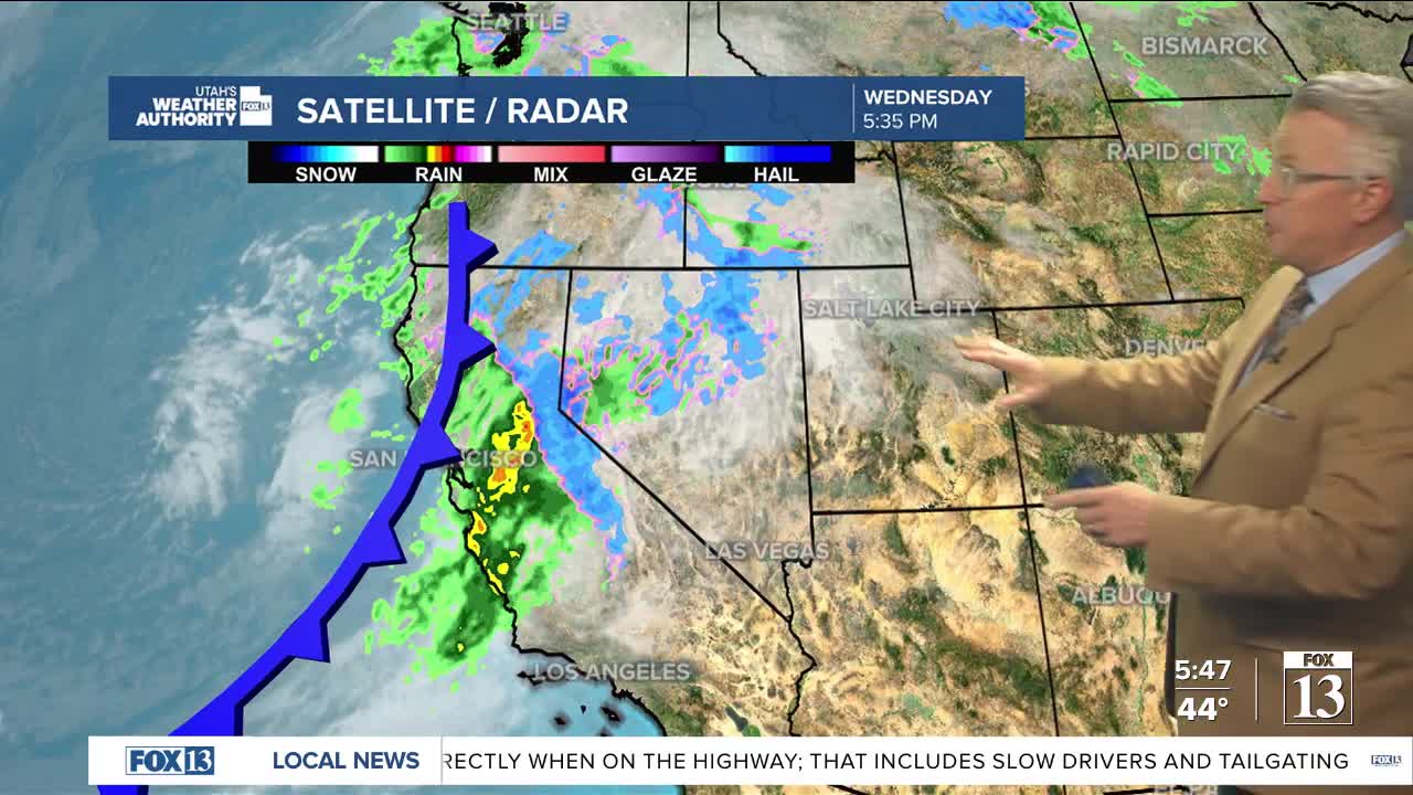


After a short break, another storm is moving in Thursday and Friday with lingering snow showers for northern Utah through Saturday morning.
The first front will move in mid morning Thursday with a wave that will mainly bring rain in the valleys and snow in the mountains. Colder air will lag behind and move in by midday Friday midday.
Snow levels do drop down to the benches on Friday morning and then retreat until the colder air moves in Friday afternoon.
Snow accumulations for many valleys will be 1-2 inches, with 2-5 inches for the benches by Saturday morning.
Winter Weather Advisories will be in effect for the Wasatch Mountains with a possible 10-20 inches of snow by Saturday morning and 3-6 inches for the southern mountains.
Temperatures will remain below average for many valley locations with highs only in the 40s and overnight lows below freezing.
More storms are expected for northern Utah come next week.