


Good morning, Utah!
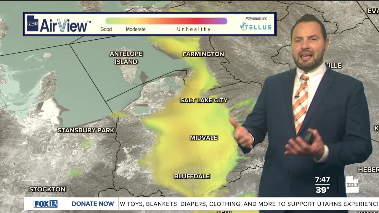
We have a ridge of high pressure that's keeping things quiet across Utah, with temperatures gradually warming into the work week. The downside? Valley inversions are expected to strengthen, bringing more haze to the valleys.
A weak system moves through northern Utah on Tuesday, which could help mix out some of that haze temporarily before high pressure rebuilds. The cold front on Tuesday will be mainly dry, with any shower potential staying north of the Utah/Idaho Stateline.
Looking ahead, a pattern change is possible next weekend, but forecast models aren't agreeing on the storm track yet. Stay tuned!