

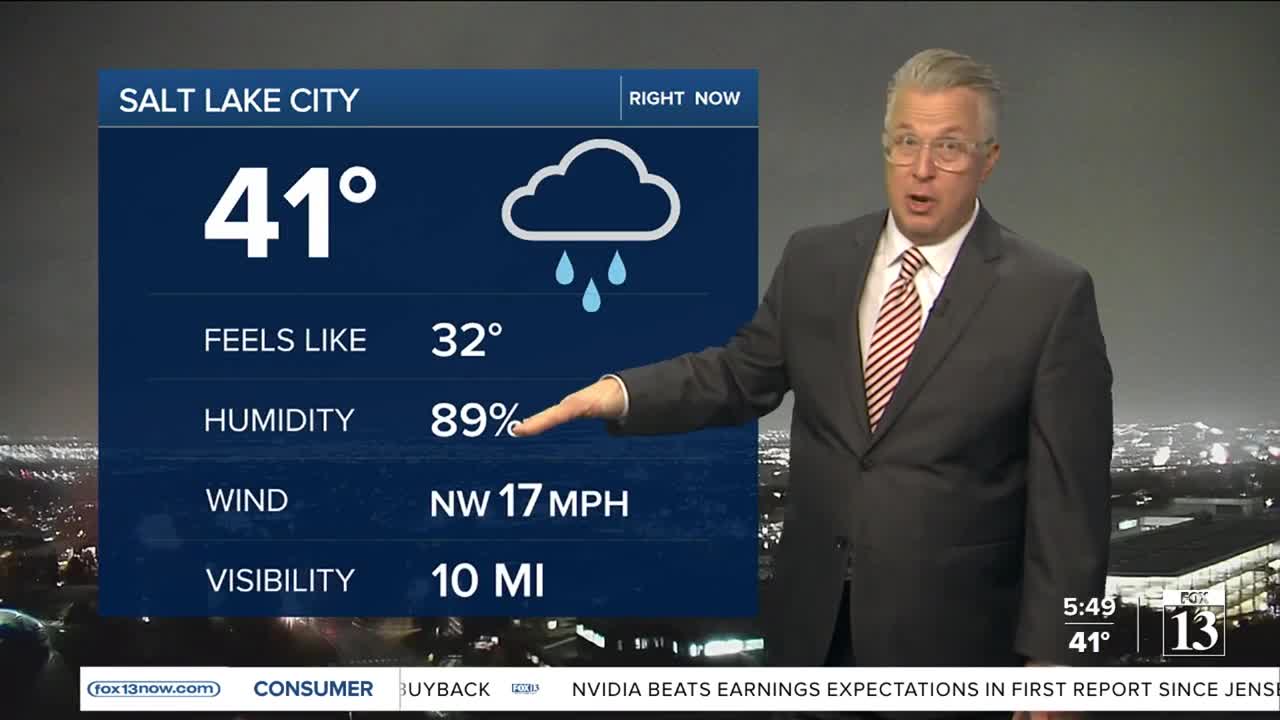


Colder air moves in through Tuesday night allowing snow levels to drop to the valley floors between 9-11 p.m. Minimal snow accumulation is expected with most of the snow sticking to the grassy surfaces and not the roadways.
The storm quickly moves on allowing clear and dry conditions for most of Wednesday.
Very chilly temperatures to start off for Wednesday morning as some valley locations experience their first freeze of the season.
The next storm lines up for Thursday morning as rain initially moves in during the daytime hours on Thursday but a transition to snow will occur Thursday night.
An additional 10-15 inches of snow is possible for the mountains of northern Utah with that Thursday storm.
Salt Lake City:
Tuesday Night: Snow showers until midnight. Low 28.
Wednesday: Cooler with mostly sunny skies. High 45.
Wednesday Night: Mostly cloudy. Low 32.
St. George:
Tuesday Night: Mostly Clear. Low: 34.
Wednesday: Mostly sunny. High: 57
Wednesday Night: Partly Cloudy. Low: 40.