


Happy weekend, Utah!
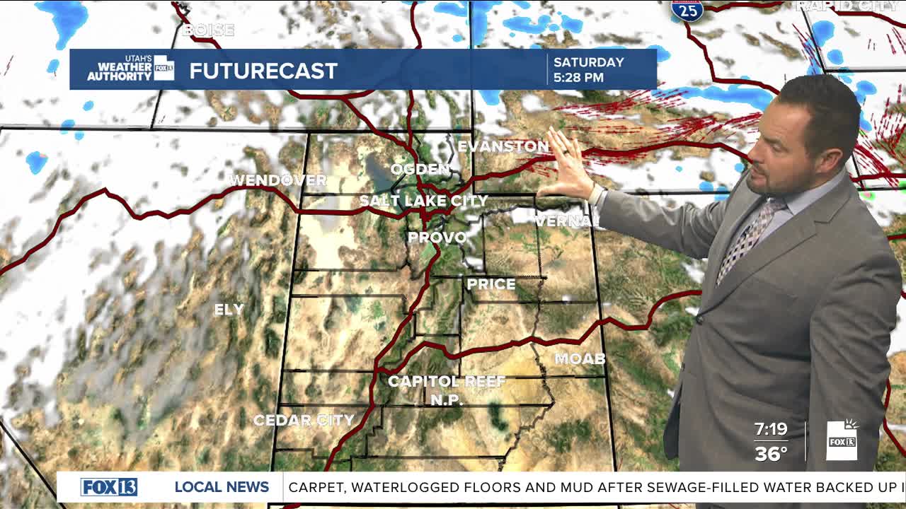
We're seeing some light snow showers linger across northern Utah this morning, with a quick dusting possible on roadways. The best chance of snow showers will remain over the higher terrain into the early afternoon.
Drier weather returns this afternoon with decreasing cloud cover, but temperatures remain about five degrees below normal. Daytime highs remain in the 40s for most valleys, with a high of just 51 degrees in St. George. Freezing temperatures are expected again tonight around Zion and lower Washington County.
Another weak storm moves in Monday, bringing another chance for a wintry mix in the valleys. This storm will have minimal impacts. High pressure then returns and brings quieter weather Tuesday and Wednesday, while another potential storm could bring mountain snow later next week. Stay tuned.