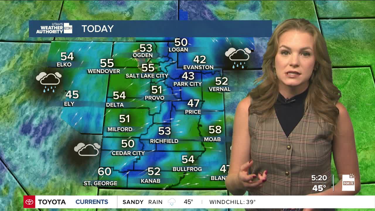
Valley rain and mountain snow will continue across northern Utah and southwest Wyoming through the morning, but should taper off by early afternoon.
Not much snow is expected from the remainder of the first system, with most mountainous areas picking up less than two 2 inches. Snow levels are expected to fall to just under 7,000 feet in parts of northern Utah and southwest Wyoming.
A short break is expected in the afternoon as a ridge of high pressure moves in and shuts off the precipitation. But clouds will stick around, and another weather system is due to arrive late Monday night into Tuesday.
That next storm will mainly affect southern Utah. Models suggest most snow will stay above about 8,000 feet on Tuesday. Southwest Utah could see the most moisture. Mountain spots such as Pine Mountain, Brian Head and Boulder Mountain could pick up 3 to 9 inches of snow.
Temperatures this week will trend right around if not slightly above average until the end of the week.
A third system may arrive near the end of the workweek, but confidence is low on exactly what it will bring. As of right now, it appears to be mainly a dry cold front which will bring temperatures to the upper 40s/low 50s for the weekend.


