

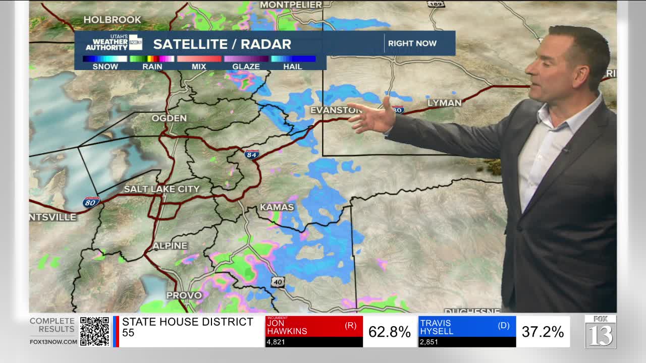


A weak, fast-moving storm will bring another round of wet weather to Northern & Central Utah today.
The best chance of precipitation will likely be between 8 am and 5 pm. Since there's not a lot of moisture to work with, valley rain & high elevation snow will be on the light side. In fact, only an inch or two of snow is expected in the mountains, mainly well above 7,500 ft.
The storm will keep it cool with temperatures running several degrees cooler than yesterday afternoon. Another weak storm will brush by Friday and bring a slight chance of showers near the Idaho border.
Otherwise, it'll become sunny and gradually warm up this weekend.
SALT LAKE CITY
Wednesday: Cloudy & cooler with about a 50% chance of rain showers. Highs: Near 50.
Wednesday Night: Partly cloudy with a slight chance of rain in the evening. Lows: Upper 30s.
ST. GEORGE
Wednesday: Sunny & mild. Highs: Low 60s,.
Wednesday Night: Mostly clear. Lows: Lower 40s.