

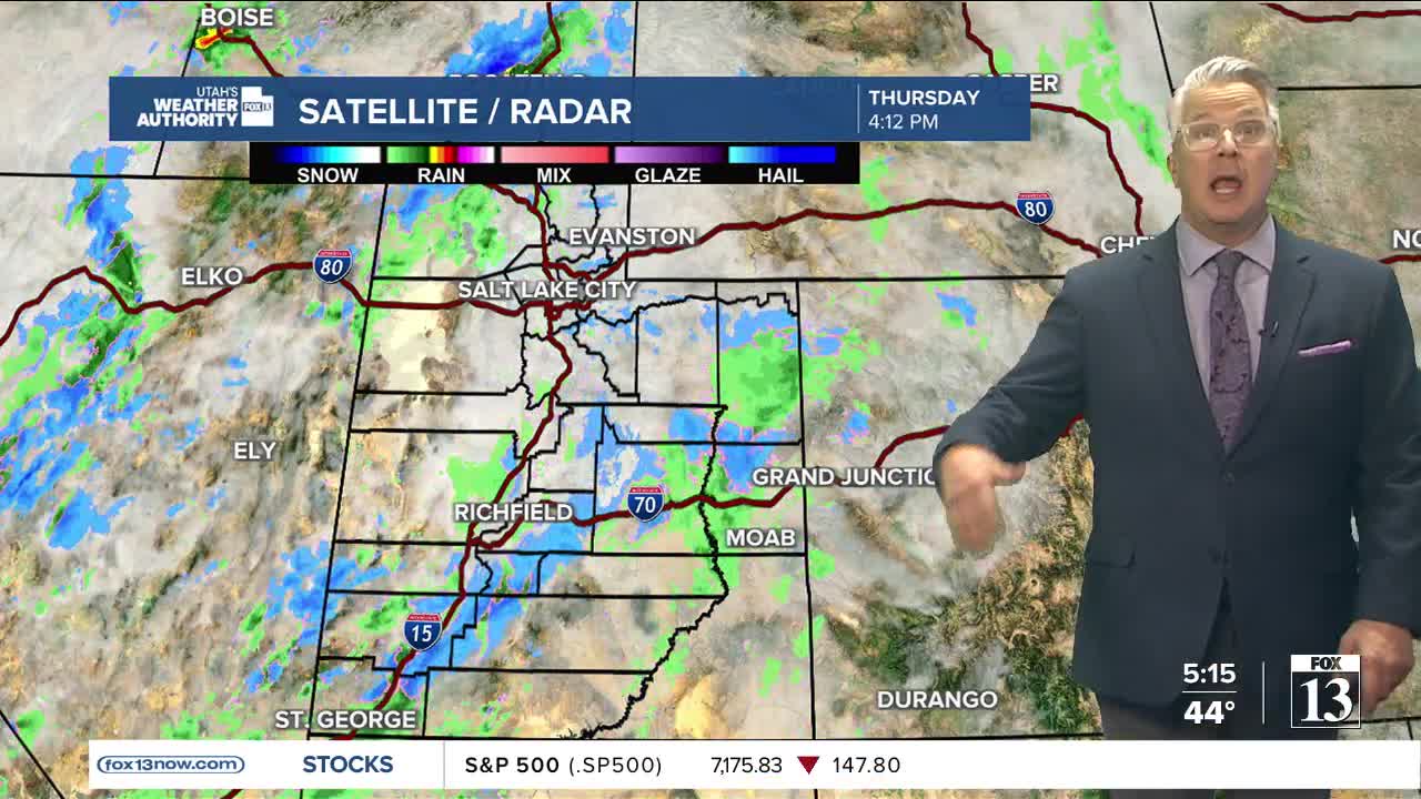


Additional waves of showers to move in for Thursday night through most of Friday and into early Saturday morning.
A cold front reaches Northern Utah for Friday afternoon. This will drop temperatures and snow levels. Many valleys will see snow early Friday evening into Saturday morning. Rain expected for most valleys prior to the cold front’s arrival.
For the mountains Winter Storm Warnings and Winter Weather Advisories will be in place until Saturday morning. Here is a breakdown:
* Northern Mountains: 6-12 inches
* Upper Cottonwoods:12-24 inches
* W. Uinta Mountains: 4-8 inches
* Central Mountains: 4-8 inches
* Southern Mountains: 5-10 inches
* Wasatch Back:1-4 inches
* Northern Valley: Tr- 1
Temperatures will remain below average for many valley locations with highs only in the 40s and overnight lows below freezing.More storms are expected for northern Utah come next week.