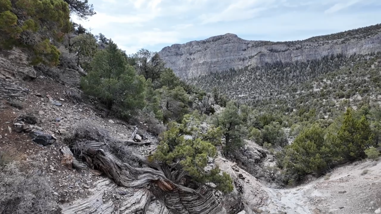


DELTA, Utah — I wanted to hike to the top of Notch Peak. It's a magnificent mountain hiding along the loneliest road in America. That's Highway Six, which becomes Highway Fifty as it crosses the Nevada State Line.
If you want to quibble about Highway 50 owning that title alone, take a drive west of Delta and Hinckley. The loneliness is at full strength well before you see a dusty border town casino.
What distinguishes Notch Peak? The highest cliff in Utah and the second-highest in the lower 48. Only El Capitan in Yosemite boasts a bigger drop-off.
Alas, you could say everything went wrong: I did not reach the peak, the wind broke my tent poles, and I returned home a day early.
So what?
I say It was really fun not reaching the peak, and the wind gave me a good reason to scramble home a day early to see my family and sleep in my own bed.
Back to the hike: Just under a mile along the trail, the junction to Notch Peak is marked by a line of rocks, though no sign. I use a Garmin device called an InReach Messenger for safety and mapping when I'm off the beaten path, but I didn't download the app from the cloud before I was out of range. In other words, I was safe with the ability to contact emergency services and get a weather report, but I didn't have a map.
Wandering in the desert. Safe. Lost. I thrive on that combination, though someday I want to get to the top of that mountain!
