

SALT LAKE CITY — What many would hope was an April Fool's Day joke is anything but, as Utah has recorded its lowest-ever snowpack conditions as of April 1.
In a special report issued Friday, the Natural Resources Conservation Service said that at no point since measurements began in 1930 has the snowpack been as low in Utah. The report was issued ahead of what is expected to be a dismal Water Supply Outlook Report.
The agency called the 2026 snowpack "truly unprecedented," with the next lowest having been recorded in 2015, but it was approximately five times higher than the current snowpack conditions.
The latest numbers come as Utah's typical snowpack peak just passed on Thursday.
Earlier this week, the Utah Climate Center said the snowpack was about 19 percent of what it usually is at the state's peak. The center added that a concern wasn't just how low the snowpack was, but how quickly it was dropping during one of the warmest winters in Utah history.
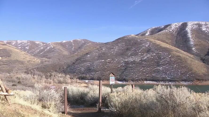
Utah snowpack plunges just days before peak, raising water concerns:
“To actually watch it play out was just surreal… to see us get into uncharted territory for record amounts of low snow water and then to just continue to plummet that number so far out of the statistical reality that we've had for 45 years of observations,” said Jon Meyer, the assistant state climatologist at the Utah Climate Center.
The worst may be yet to come as a lack of snowpack means less water flowing into Utah reservoirs as conditions become warmer.
“I would imagine that we're going to see lots of water restrictions and regulations beginning to creep across the state's populations this year," said Meyer.
