

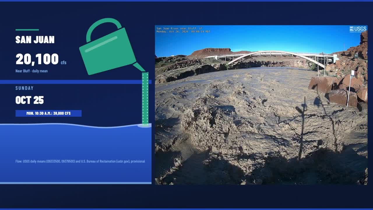


SALT LAKE CITY, Utah — A month of extraordinary rainfall across southeastern Utah has sent water pouring into Lake Powell, lifting the reservoir's elevation by nearly 10 feet and turning the normally placid San Juan River into a raging torrent.
Precipitation monitors in Bluff and at the Hans Flat Ranger Station tell the story.
While southwestern and northern Utah received about twice their normal precipitation over the last month, southeastern Utah got far more — more than 7 times normal in Bluff and 4.5 times normal at Hans Flat in Canyonlands National Park.
That rain had a dramatic effect on Lake Powell's tributaries, notably the often-dry Dirty Devil River near Hanksville and the San Juan River near Bluff. At normal times, the Colorado and Green rivers provide the lake with most of its water.
One month ago, the lake was taking in 7,300 cubic feet of water per second, and its elevation stood at 3,517 feet.
The inflow swung wildly over the following weeks. By Oct. 1, inflow had doubled. By Oct. 10, it had dropped again to 5,300 CFS. Then, on Oct. 15, 21,000 CFS came flooding in.
The surge continued to build. Inflow climbed back to that level on Oct. 20 and kept rising. On Oct. 22, inflow hit 63,000 CFS, with the San Juan running more than 15 times its normal flow. Two days later, the San Juan was flowing higher than every other tributary combined, aside from the Dirty Devil, which was also experiencing an immense surge.
The result: Lake Powell's elevation climbed to 3,527.5 feet. In a single month, it rose 9.8 feet.
The rise in Lake Powell's level is good news, but it still leaves the reservoir close to historic lows. The region could use more water, though nearby residents might prefer a rest.
Precipitation data comes from the National Weather Service. Streamflow data for rivers comes from the U.S. Geological Survey. Lake Powell levels and inflow come from the U.S. Bureau of Reclamation.