

DAMMERON VALLEY, Utah — Residents across Washington County are facing higher insurance premiums and coverage challenges after Utah released updated wildfire risk maps that designate their neighborhoods as high-risk zones.
Dammeron Valley falls within the state's newly designated high-risk red zone for structure wildfire risk. The area exemplifies the concerns many homeowners are raising about the mapping process.
"If you listen … there's no noise. It's great," said Steve Friend, a Dammeron Valley resident whose property is now classified in the high-risk zone.
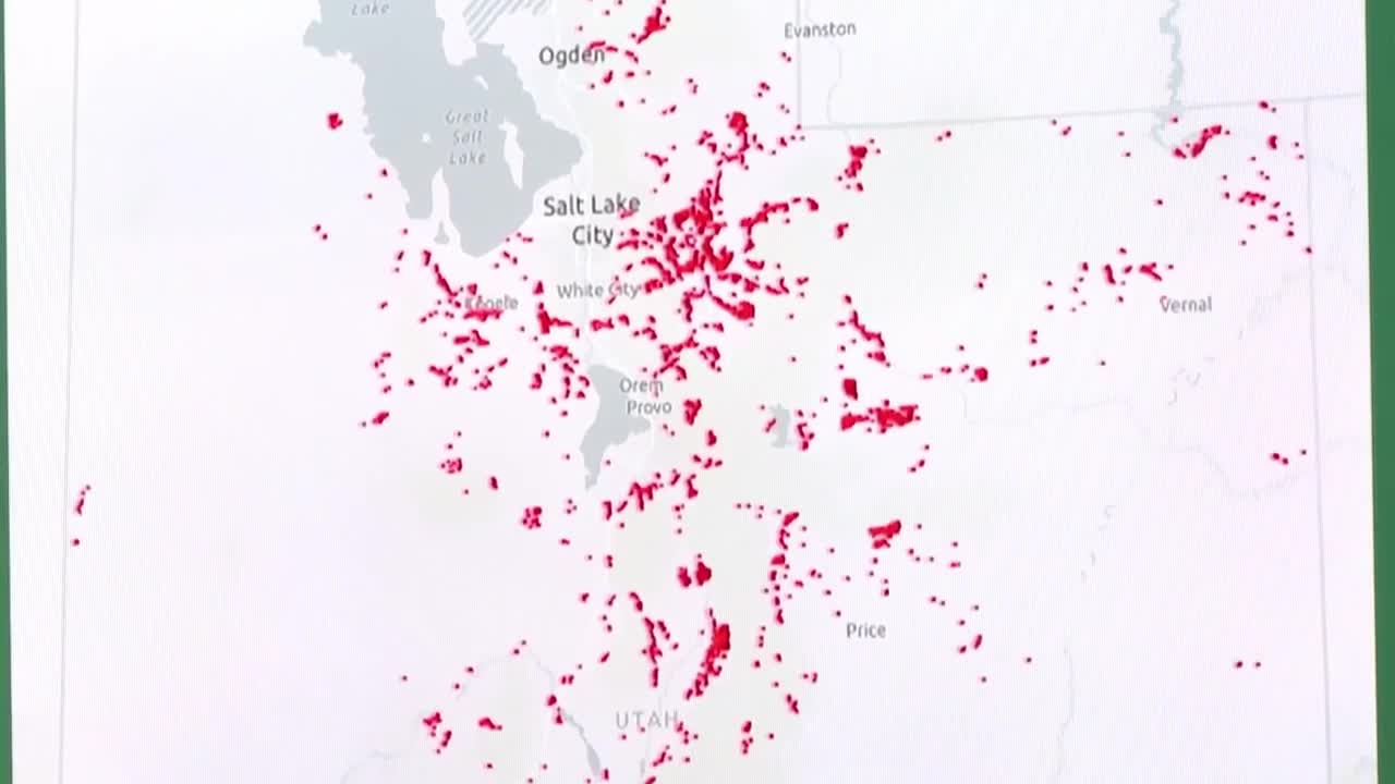
The maps, called the High-Risk Wildland Urban Interface, were released by Utah's Division of Forestry, Fire & State Lands following legislative authorization. The state identifies red areas as those with structure risk scores of 7 or 8 out of 8 and containing at least two structures within an 820-foot radius.
Friend argues that the mapping system unfairly categorizes entire areas without considering individual fire mitigation efforts or specific property conditions. He points out that his own property is scored as a 5.
"They're just drawing a picture, swatting an area and saying these are going to be high-risk areas," Friend said.
Jamie Barnes, director of the Division of Forestry, Fire & State Lands, defended the mapping methodology, explaining that the maps have been created and updated annually for a decade. The recent legislative action requires identification of structures in highest-risk areas and mandates that insurance companies use state maps rather than their own assessments.
"The idea behind this bill is to really put standardization to the map and to create a map within the state of Utah that insurance companies use when analyzing coverage," Barnes said. "They can use other data in addition, but they need to use the state's map."
Barnes pointed to last summer's Forsyth Fire, which destroyed a southern Utah record 14 homes in Pine Valley, located 18 miles northeast of Dammeron Valley, as an example of why identifying high-risk areas is crucial.

SOUTHERN UTAH
Pine Valley residents, community rise from the ashes after devastating wildfire
The mapping system does include an appeals process for property owners who believe their designation is incorrect.
"Mind you, this was based on scientific data, but we're willing to have people come forward," Barnes said.
Residents throughout Washington County have expressed frustration with what they perceive as overly broad assessments. Laura Miller of Santa Clara said she has removed landscaping within five feet of her home as recommended by fire prevention guidelines and believes her property should be evaluated on its individual merits.
Jarice Butterfield of Dammeron Valley expressed concerns about the financial impact, stating she has "serious concerns about the high-risk fire maps and the financial impact the new legislation will have on residents and homeowners' insurance."
The insurance implications extend beyond properties within designated red zones. Tom Mertz, a Desert Canyons resident whose home sits two blocks outside the red zone, said his insurance company still raised his rates.
"They said the insurance company is using a tool that identifies open spaces. And if it's an open space, they assume that there was a fire danger," Mertz said. "What I thought was odd is they were doing it on my cars. Not the house. And the cars, I can pull out of the garage in the event of a fire."
The Desert Canyons neighborhood illustrates the complexity of the issue. Located on St. George's southern edge at the Utah-Arizona border, the area features homes worth more than $1 million that back up to open land filled with sagebrush and distant mountains. Residents argue that they're being penalized for proximity to open space rather than traditional wildfire risks associated with forested hills.
Scott Campbell, who purchased a home in The Ledges development south of Dammeron Valley three years ago, experienced immediate insurance challenges.
"When we bought this house, they just said, 'You're in a fire zone.' And I said, 'You've got to be kidding me,'" Campbell said. "You would have thought they'd come to look."
Campbell struggled to find coverage initially and was dropped by his insurer after the first year.
"When I bought this house, the first week I did not have insurance. I couldn't find it. Insured me for the first year — then the second year they dropped the insurance," Campbell said.
The state maintains that the mapping system aims to create consistency in wildfire risk assessment while providing property owners with opportunities to appeal their designations through the established process.
