

SALT LAKE CITY — Utah might not have been in store for a white Christmas, but snow and powerful winds are moving into the state.
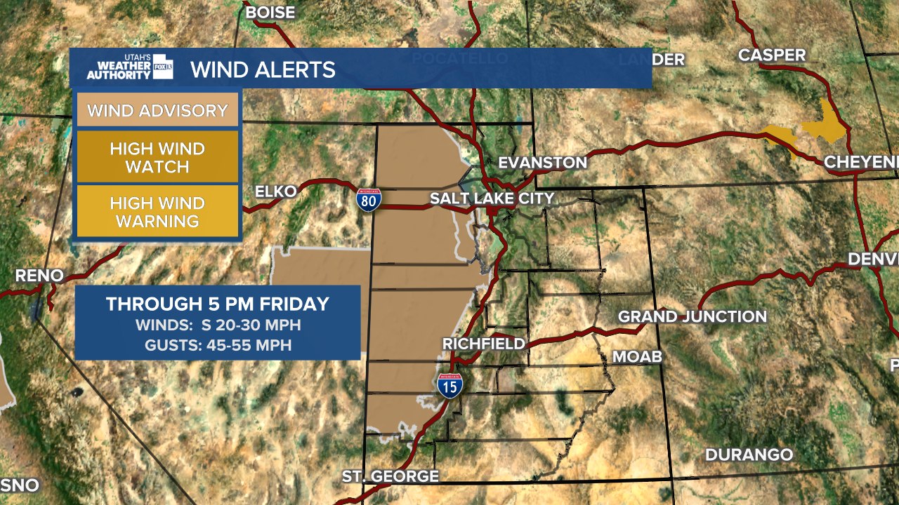
The National Weather Service has issued a Wind Advisory for the Great Salt Lake Desert, Juab County, Millard County, and other parts of southwest Utah. According to forecasters, the winds will be blowing 15-25 miles per hour with some gusts up to 45 miles per hour.
The advisory will remain in effect until 5 p.m. Friday, and drivers are warned that the winds could make driving difficult, especially for high-profile vehicles and vehicles with trailers.
Ahead of the winter storm that is expected for Utah, the Utah Department of Transportation has activated the traction laws for both Big and Little Cottonwood Canyons.
For drivers, that means anyone going through the canyons will have to have at least 5/32 inch tread depth, and snow socks or chains may be required.

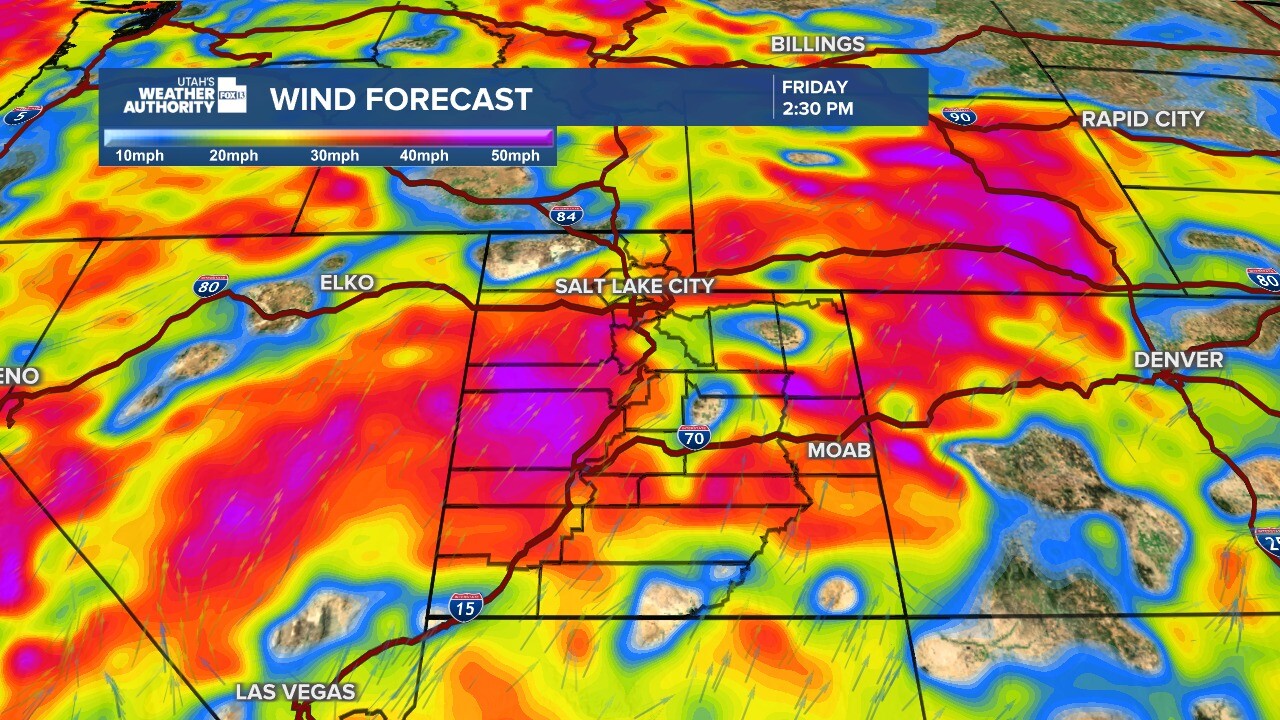
The storm system is one of two moving into the Utah area in the coming days. Forecasters believe the first system is expected to arrive fully on Friday night and into Saturday.

A second cooler system is expected to arrive in the state on Saturday night into Sunday morning and bring with it the best chances for measurable snow along the Wasatch Front.
Temperatures will dip to or below seasonal averages over the weekend before rebounding to near average early next week. High pressure is expected to return by midweek, although inversions could slow warming in some northern valleys and potentially impact air quality.
