



SALT LAKE CITY — Understanding which watershed you live in could determine your flood risk during summer's fire season.
Utah communities near active wildfires and fresh burn scars face an elevated risk of flooding, and knowing your watershed could be the difference between being prepared and being caught off guard.
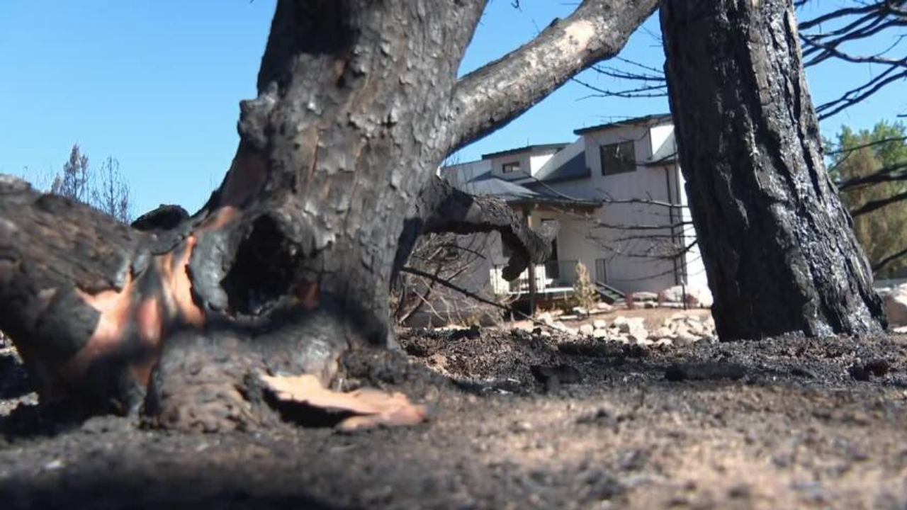
A hands-on demonstration using water, paper towels, and a cutting board illustrates why burn scars are so dangerous when rain arrives. When a hillside still has its vegetation and healthy soil, it absorbs much of the water from a rainstorm. When a burn scar strips that vegetation away, water slides straight down the hill, picking up dry, dead debris along the way and funneling it rapidly toward whatever community sits below.
The key to understanding your personal risk is knowing which watershed you live in.
A watershed is the area of land that drains rainfall and snowmelt into a common body of water. When a burn scar sits inside a watershed that flows toward a town, that town is in the path of potential post-fire flooding.
Monsoon storms increase flash flood danger across Utah burn scars:
Using current burn scar and active fire data from the National Interagency Fire Center alongside an official watershed map from the Utah Department of Natural Resources, here is where the risk stands for Utah's three biggest fires thus far:
Babylon Fire
Monticello is the closest sizable population center to the Babylon Fire. However, the fire has not yet crested the taller mountains in the area. Burn scars on the current side of the fire would push water west, away from town rather than east toward it.
Cottonwood Fire
The Cottonwood Fire presents more potential for trouble on the Beaver side. The burn scar extends into watersheds that flow toward the sizable town. On the Piute County side, communities from Circleville north to Marysville all have exposure to potential flooding from burn scars.
Iron Fire
The most immediate threat is to Eureka, where the Iron Fire came close to town. The burn scar dominates the hills to the north, east, and west of the community.