


SALT LAKE CITY — The Utah Geological Survey and the Navajo Nation have partnered to publish a new geologic map of the Olijeto 7.5' quadrangle. According to UGS, this map is the first-ever form geologic mapping within the Navajo Nation and will help the tribe prioritize scientific research.
"The Oljeto quadrangle covers a striking and hyper-arid slice of the Colorado Plateau straddling the Utah-Arizona border, encompassing portions of Monument Valley," the Utah Geological Survey stated. They say in the area surface water is nearly nonexistent and development stresses those local resources.
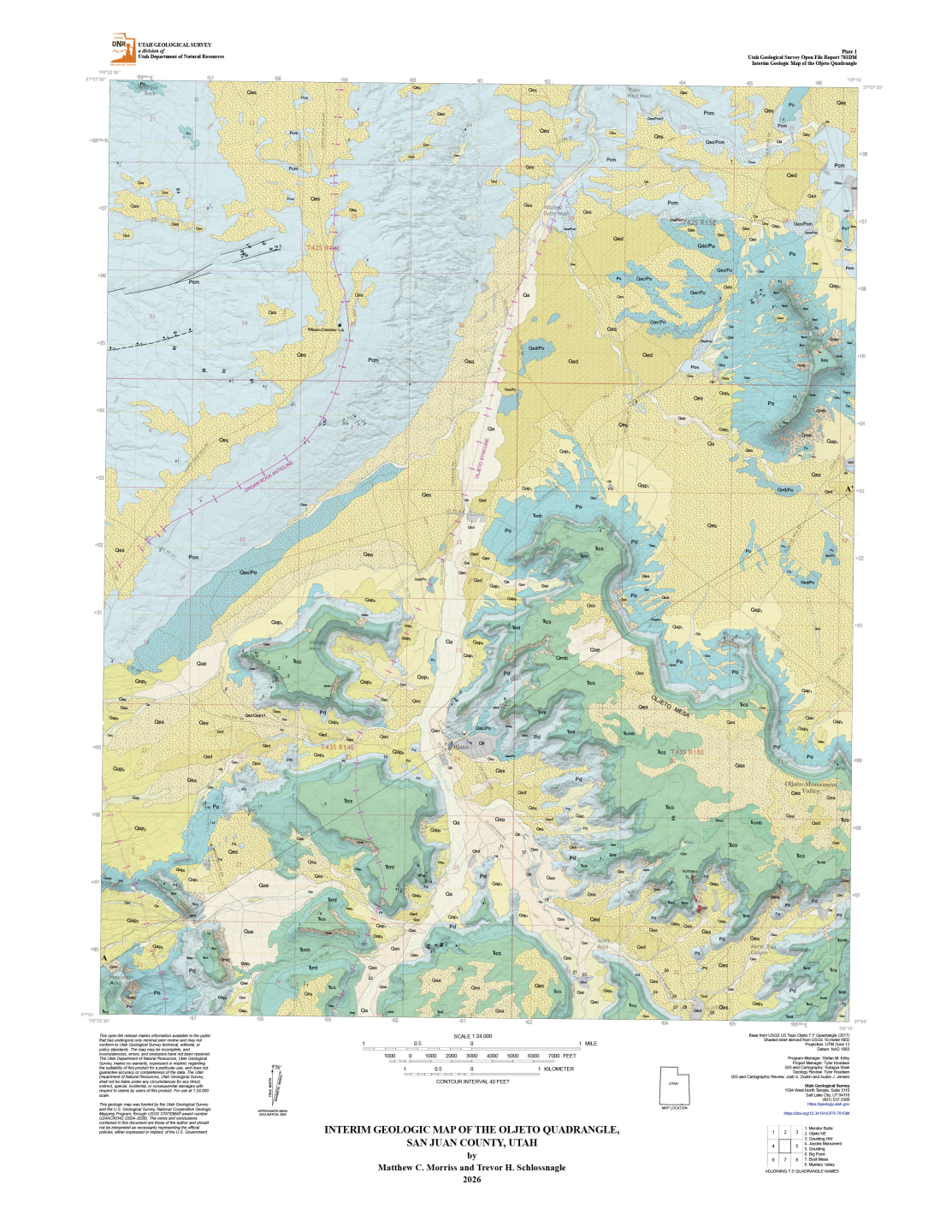
"By carefully charting the area's rock layers, fault lines, and sediment distributions, the new map provides the Navajo Nation with data needed to understand groundwater resources, manage existing wells, and safely develop future infrastructure," researchers explained.
Researchers say that without these detailed maps, resource managers and other stakeholders would lack the critical data necessary to make informed decisions regarding groundwater security, responsible land use, and smart development.