



SALT LAKE CITY — A weather event heading to Utah this weekend will result in a big change from sunshine and temperatures in the 80s to the potential for heavy rain and strong winds.
Local emergency management teams are staying in close contact with forecasters and doing what they can to be prepared, just in case.
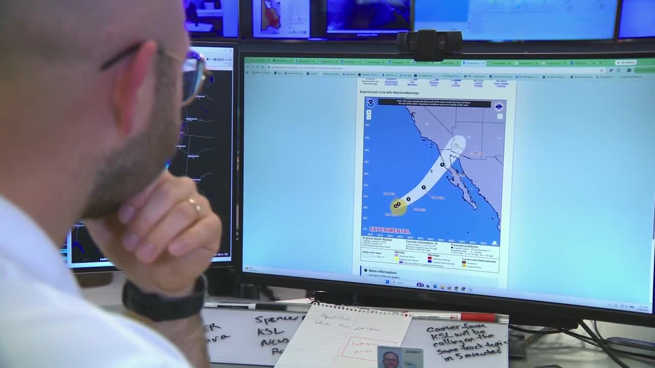
The National Weather Service is calling it the cone of uncertainty as it tracks the path of Tropical Storm Rachel, currently off the coast of Mexico and California. Still, its remnants appear to be headed to Utah.
“There’s potential for that storm track to change, and it’s going to mean a lot of rain and potential for some wind and potentially severe weather in terms of thunderstorms as well," said NWS meteorologist Hayden Mahan.
Brek details below what to expect with the weather over the weekend:
Mahan and the NWS team stay in constant contact with emergency management teams across the state, especially in Salt Lake County.
Division Chief Bob Silverthorne is with the Salt Lake City Fire Department.
“We try to do over preparation as opposed to being behind the eight ball," explained Salt Lake City Fire Department division chief Bob Silverthorne.
Crews will be keeping a close eye on burn scars from recent wildfires and floodplains, but Silverthorne added that they will be ready for anything.
“We’re an all-hazards Fire Department," he said, "So we are 24/7/365, so we are constantly prepared.”

Mahan shared how weather events like the one predicted for this weekend allow meteorologists to utilize the latest technology to track storms and perform their main mission.
“Which is to protect life and property," he said. "The more we can know about what’s to come, the more we can help people and communities prepare for it.”