

With partly cloudy skies and above average temps, it's going to be another good travel day! (And not too bad if you're out shopping for Black Friday)
The first in a series of weather systems will brush by tonight and bring some light snow to the northern mountains. The main impact will be colder air spilling in with temps dropping about 10 degrees lower by Saturday.
The next storm moving in Saturday night & Sunday will have more moisture to work with. There's still some uncertainty about how much snow we might get, but there could be several inches in the Wasatch Mountains with the first measurable snow possible in northern valleys!
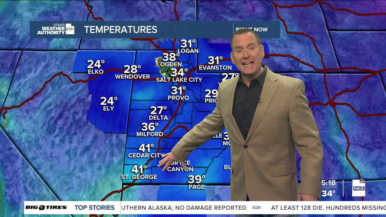
SALT LAKE CITY
Friday: Becoming partly cloudy. Highs: Mid 50s.
Friday Night: Becoming cloudy with a slight chance of rain showers. Lows: Near 30.
Saturday: Partly cloudy & colder. Highs: Mid 40s.
Sunday: Cloudy with a 60% chance of snow. Highs: Near 40.
ST. GEORGE
Friday: Sunny. Highs: Low 60s.
Friday Night: Clear. Lows: Upper 30s.
Saturday: Partly cloudy. Highs: Near 60.
Sunday: Partly cloudy. Highs: Upper 50s.
