

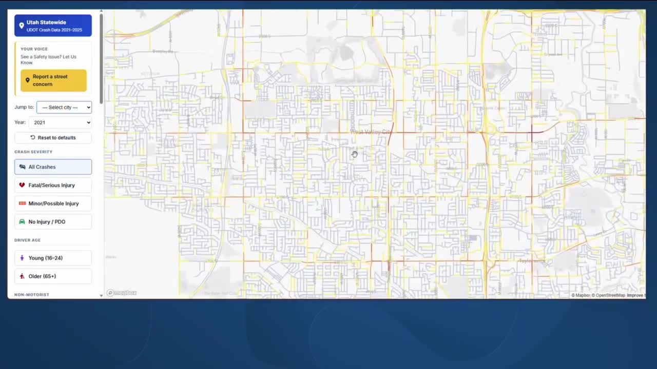


SALT LAKE CITY — A criminal justice professor at Southern Utah University built an interactive map using five years of crash data to help Utahns identify and avoid high-risk roads across the state.
Sangjun Park, a PhD and associate professor of criminal justice at Southern Utah University, analyzed more than 750,000 Utah road segments using Utah Department of Transportation crash data from 2021 to 2025. The research identifies where crash risk is most concentrated statewide and is being used to drive safety improvements.
The tool, called Street Explorer, makes the data publicly accessible and allows Utahns to explore high-risk roads by location.
The top three most dangerous roads in Utah are I-15 in South Salt Lake, Porter Rockwell Boulevard in Bluffdale, and Bangerter Highway in West Valley City.
Roger Carter, an assistant professor at Southern Utah University, said the research points to actionable solutions for the state's most problematic roads.
"We have these problematic intersections and street segments that again can be identified," said Carter, "but there are interventions that can take place, whereas we can't just lift those up and move them to a different location, or we don't have the resources to build additional roads at the minute.
"There are interventions that this research identifies that can truly have impacts upon the crashes, and... why would we not want to implement those?"
The map also allows users to filter crash patterns by weather, time of day, season, and driver age, among other variables. The pilot study is ongoing, and the Street Explorer interactive map is currently available to the public.
This story was reported on-air by a journalist and has been converted to this platform with the assistance of AI. Our editorial team verifies all reporting on all platforms for fairness and accuracy.

DRIVEN TO CHANGE
